Skip to content
Maryland AuthorityMARYLAND
AUTHORITY
Menu

Central & Southern Maryland

Neighborhoods & Areas

Start with a county, city or town. Explore practical community guides, local resources and the places connected by work, water and everyday life.

Search all community guides ↓

Find your place

Start with a town or community

City · Anne Arundel County

City of Annapolis

Annapolis brings together the State House, downtown streets and the maritime setting of Eastport. Explore its separate pockets on foot and by local transit, with attention to the creek crossings and your destination’s entrance.

Explore City of Annapolis

Community · Howard County

Columbia

Columbia’s villages, paths and shared institutions explain how the planned community works. Start with its history, a local village center and the right organization for an everyday question.

Explore Columbia

Community · Anne Arundel County

Severna Park

Severna Park’s daily landmarks include Ritchie Highway, the library on West McKinsey Road and the B&A Trail. Explore the community through its local errands, trail entrances and nearby county parks.

Explore Severna Park

Community · Calvert County

Solomons

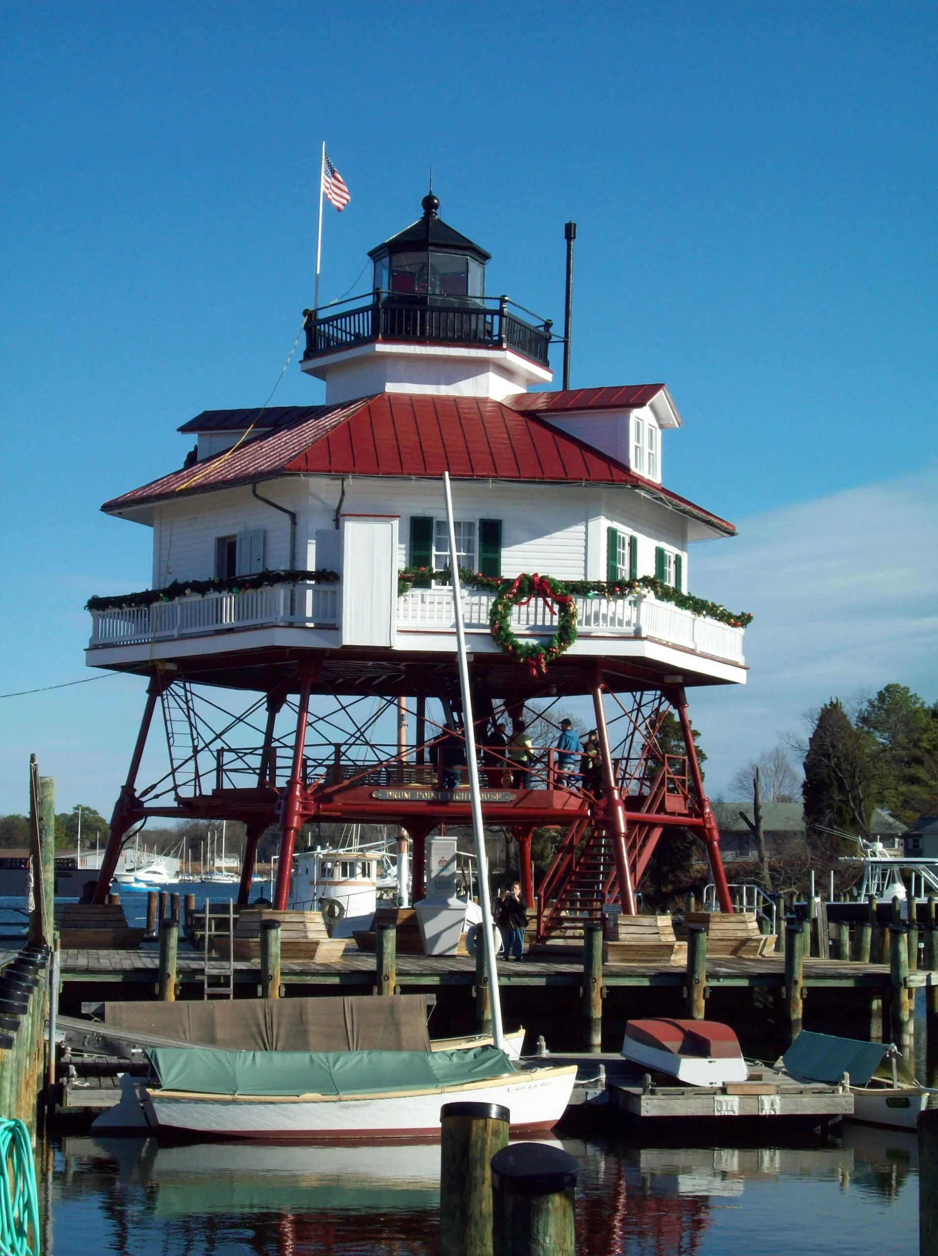
A Patuxent waterfront community with maritime history, public water access and a connection to St. Mary’s County.

Explore Solomons

Municipality · Carroll County

Taneytown

Taneytown offers a local-history museum and several distinct public parks. Start with an exhibition date, a pond-side walk at Roberts Mill or a gathering at Memorial Park.

Explore Taneytown

Community · Baltimore County

Towson

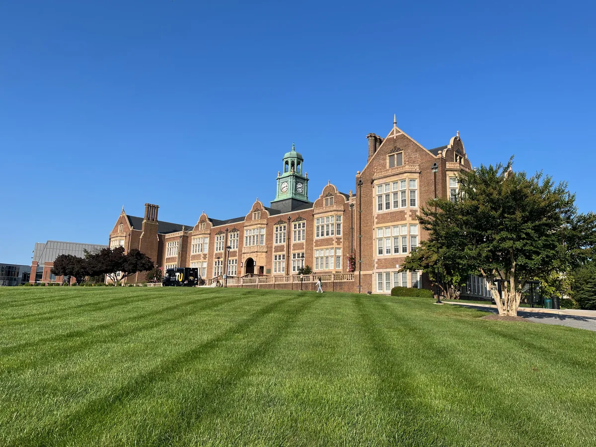
Towson brings Baltimore County government, a university campus and a substantial public library into a town center with a history distinct from Baltimore City.

Explore Towson

Browse all matching places →

Find your place

Explore Maryland neighborhoods

Neighborhood · Baltimore City

Abell

Abell’s porch-front streets, former ballpark site and community-managed open space connect neighborhood history with everyday life near Greenmount Avenue.

Explore Abell

Neighborhood · City of Annapolis

Admiral Heights

Admiral Heights connects Annapolis streets named for naval leaders with neighborhood waterfront spaces. Dewey Dock, Halsey Park and the separately managed boat club have distinct uses and access arrangements.

Explore Admiral Heights

Neighborhood · Baltimore City

Allendale

Allendale’s porch-front rowhouses sit alongside New Cathedral Cemetery and share library resources with the wider Edmondson Avenue area.

Explore Allendale

Neighborhood · Town Center

Amesbury Hill

Amesbury Hill is a small Town Center residential area off Ten Mills Road near Route108. Its community history, nearby golf resources and Centennial Park entrances help orient a first visit.

Explore Amesbury Hill

Neighborhood · Baltimore City

Arcadia

Arcadia’s bungalows, cottages and duplexes connect an early twentieth-century subdivision story with an improvement association publishing current neighborhood news.

Explore Arcadia

Neighborhood · Baltimore City

Arlington

Arlington’s mix of houses, school investment and community housing work gives it a distinct place within northwest Baltimore.

Explore Arlington

Neighborhood · Baltimore City

Ashburton

Ashburton’s detached homes and civic history form part of the Liberty Heights corridor’s long residential story.

Explore Ashburton

Neighborhood · Town Center

Banneker

Banneker is a Town Center residential neighborhood on Banneker Road. Its fire-station landmark, local play areas and the current Central Library give practical orientation points.

Explore Banneker

Neighborhood · Baltimore City

Barclay

Barclay’s rowhouses, former industrial spaces and community organizing reflect a central Baltimore neighborhood shaped by transportation and successive stages of development.

Explore Barclay

Neighborhood · Baltimore City

Barre Circle

Barre Circle is a compact rowhouse neighborhood near Pigtown and Hollins Market, with a community association and a nearby library branch currently closed for improvements.

Explore Barre Circle

Neighborhood · Baltimore City

Bayview

Bayview’s porch-front rowhomes and alphabetically named streets form a residential neighborhood beside the separate Johns Hopkins Bayview campus.

Explore Bayview

Neighborhood · Baltimore City

Beechfield

Beechfield combines smaller rowhouses and detached homes near the city line, with a neighborhood association and a developing rail-trail connection.

Explore Beechfield

Neighborhood · Baltimore City

Belair-Edison

Belair-Edison brings porch-front houses, a Belair Road business corridor and neighborhood housing resources together near Herring Run and Clifton Park.

Explore Belair-Edison

Browse all matching places →

Explore Maryland

Find a city, town or neighborhood

Reset

31 places found.

Explore the region on a mapAnne Arundel CountyBaltimore CountyCalvert CountyCarroll CountyCharles CountyHarford CountyHoward CountyQueen Anne's CountySt. Mary's CountyBaltimore City

Generalized county boundaries from the U.S. Census Bureau (2025). Place markers appear only where locations have been verified. The same guides are available in the list below.

Municipality · Queen Anne’s County

Barclay

Barclay is an agricultural crossroads where roads, rail and a small group of everyday services explain the town’s layout.

Explore Barclay

Municipality · Queen Anne’s County

Centreville

Centreville brings county-seat services and a compact business district together with parks and the Corsica River waterfront.

Explore Centreville

Community · Queen Anne’s County

Chester

Chester pairs Kent Island heritage at the Kirwan property with a useful Cross Island Trail entrance at Macuum Creek.

Explore Chester

Municipality · Queen Anne’s County

Church Hill

Church Hill pairs colonial history with a working community theater and a county park built around everyday recreation.

Explore Church Hill

Area · Queen Anne’s County

Cox Creek

Cox Creek brings Kent Island’s tidal landscape into focus through a county landing and the Cross Island Trail’s creek crossing.

Explore Cox Creek

Community · Queen Anne’s County

Crumpton

Crumpton combines a Chester River landing, a grass-path county park and the changing catalogs of Dixon’s Auction.

Explore Crumpton

Area · Queen Anne’s County

Dominion

Dominion’s Little Creek waterfront connects Kent Island’s working-water history with a county boat landing and a small marina.

Explore Dominion

Community · Queen Anne’s County

Grasonville

Grasonville has outdoor options beyond the waterfront restaurants, from neighborhood sports facilities to a large environmental preserve.

Explore Grasonville

Community · Queen Anne’s County

Ingleside

Ingleside’s history can be traced through rural architecture along Roberts Station Road and the records of its Methodist community.

Explore Ingleside

Area · Queen Anne’s County

Kent Island

Kent Island combines Stevensville and Chester, Chesapeake shoreline parks and two important trail corridors. US 50/301 and Route 8 are useful reference points, but the exact neighborhood and trail entrance shape a local day.

Explore Kent Island

District · Queen Anne’s County

Kent Narrows

Kent Narrows combines restaurants and marinas on both sides of the strait with heritage exhibits and access to shoreline trails.

Explore Kent Narrows

Community · Queen Anne’s County

Kingstown

Kingstown sits across the Chester River from Chestertown, with local commerce that serves nearby households, gardens and farms.

Explore Kingstown

Community · Queen Anne’s County

Love Point

At Kent Island’s northern end, Love Point combines Chester River views, a vineyard destination and links to the island’s former rail route.

Explore Love Point

Area · Queen Anne’s County

Matapeake

A former ferry terminal, public beach and wooded shoreline trail make Matapeake a distinctive Kent Island stop on the Chesapeake Bay.

Explore Matapeake

Municipality · Queen Anne’s County

Millington

Millington crosses the Chester River between Queen Anne’s and Kent counties, with nearby pond recreation at Cypress Branch State Park.

Explore Millington

Community · Queen Anne’s County

Price

Price’s rural setting is anchored by Rabbit Hill Road, a community center and the MD 405 crossing of US 301.

Explore Price

Community · Grasonville

Prospect Bay

Prospect Bay’s residential setting centers on a private country club with golf, boating and social facilities; membership and guest rules shape access.

Explore Prospect Bay

Municipality · Queen Anne’s County

Queen Anne

Queen Anne’s railroad roots meet the Tuckahoe landscape in a small town shared by Queen Anne’s and Talbot counties.

Explore Queen Anne

County · Queen Anne’s County

Queen Anne’s County

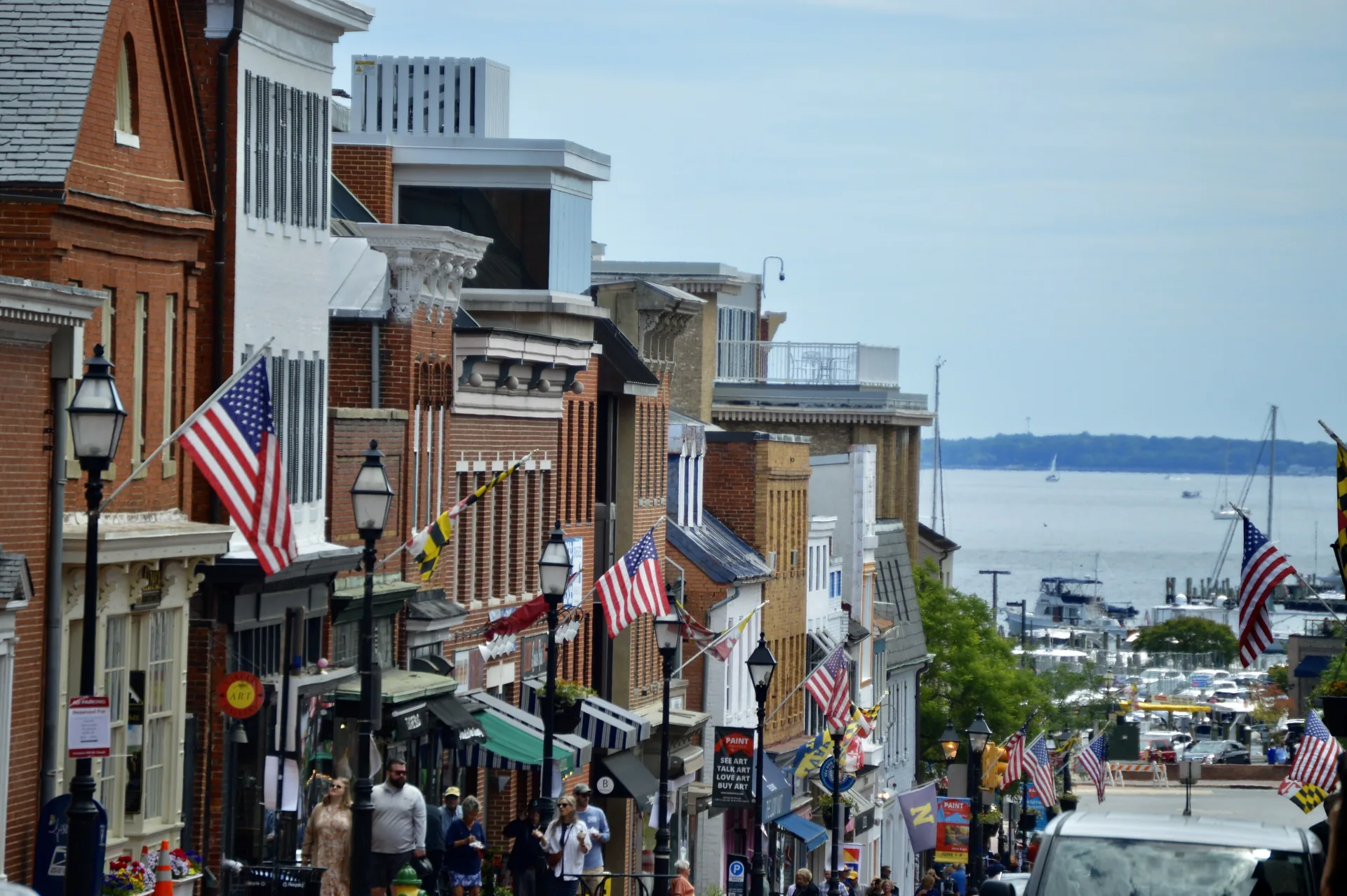
Queen Anne’s County reaches from Kent Island and Kent Narrows to Centreville and inland communities. Explore the county through its town centers, trails and designated water access, with the Bay Bridge shaping trips to the western shore.

Explore Queen Anne’s County

Municipality · Queen Anne’s County

Queenstown

Queenstown’s early courthouse and creek setting anchor a small incorporated town whose landing has its own resident permit rules.

Explore Queenstown

Community · Queen Anne’s County

Romancoke

Romancoke’s pier and kayak ramp mark the southern end of a paved trail along Route 8, with parking and launching rules to plan around.

Explore Romancoke