
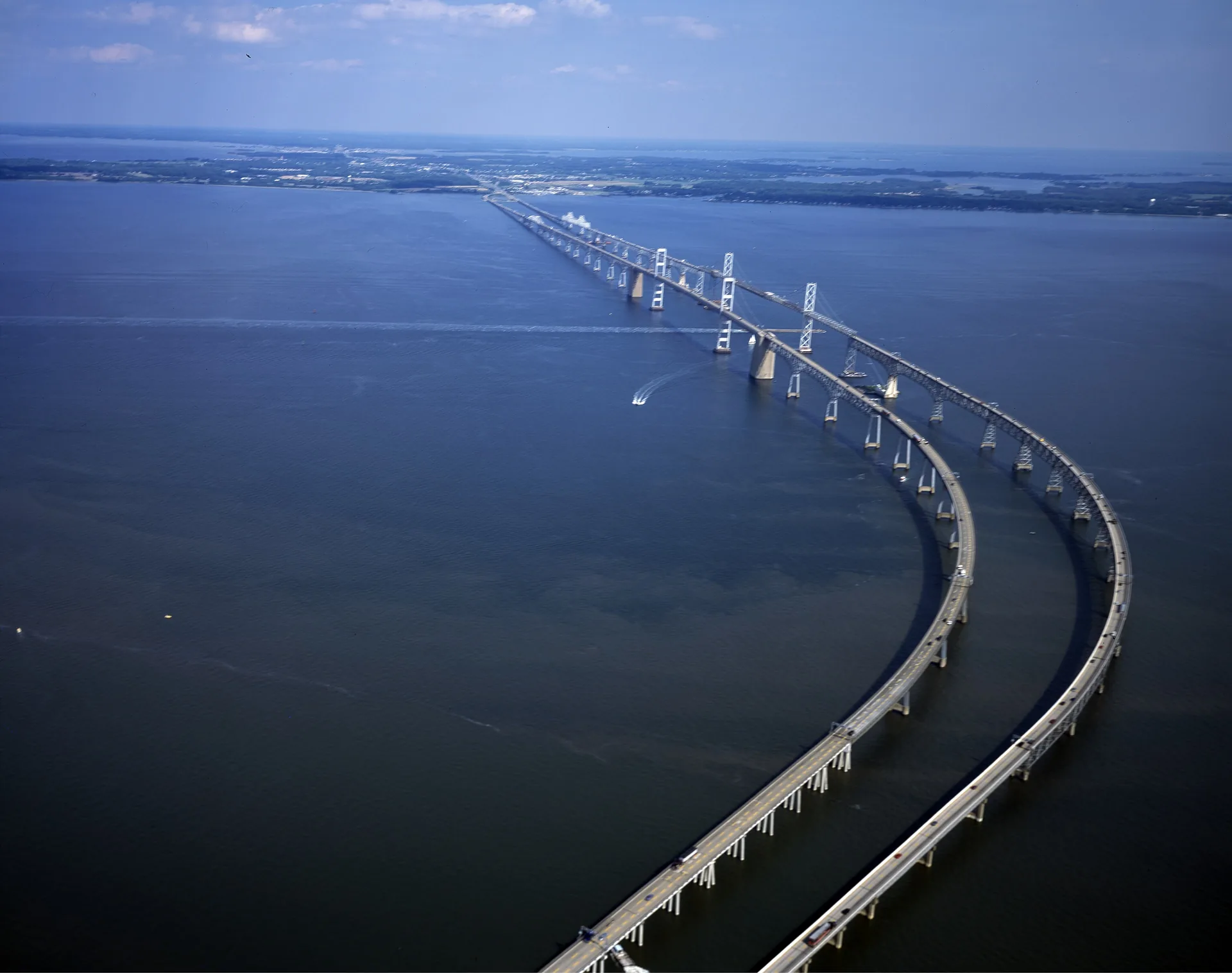
Queen Anne’s County has several different geographic starting points. Kent Island and Kent Narrows sit near the Bay crossing; Centreville is the county seat beside the Corsica River. Looking beyond the bridge approach opens up more of the county’s towns, inland roads and river settings.
The county’s trail and bicycle-route resources include Kent Island, Centreville and Grasonville. Treat the maps according to their purpose: a route on local roads is different from a separate path. The Cross Island Trail provides a path-based way to explore the Kent Island area toward Kent Narrows.
In Centreville, the public landing on the Corsica River is a specific place to investigate water access. Check the county’s current permit and use information for the activity you have in mind. A river view and a place where the public can launch are different things.
For a trip toward Annapolis or the western shore, the Bay Bridge on US 50/301 is the key crossing. Build your plan around the actual destination and current bridge information, leaving time to explore the county beyond the highway.