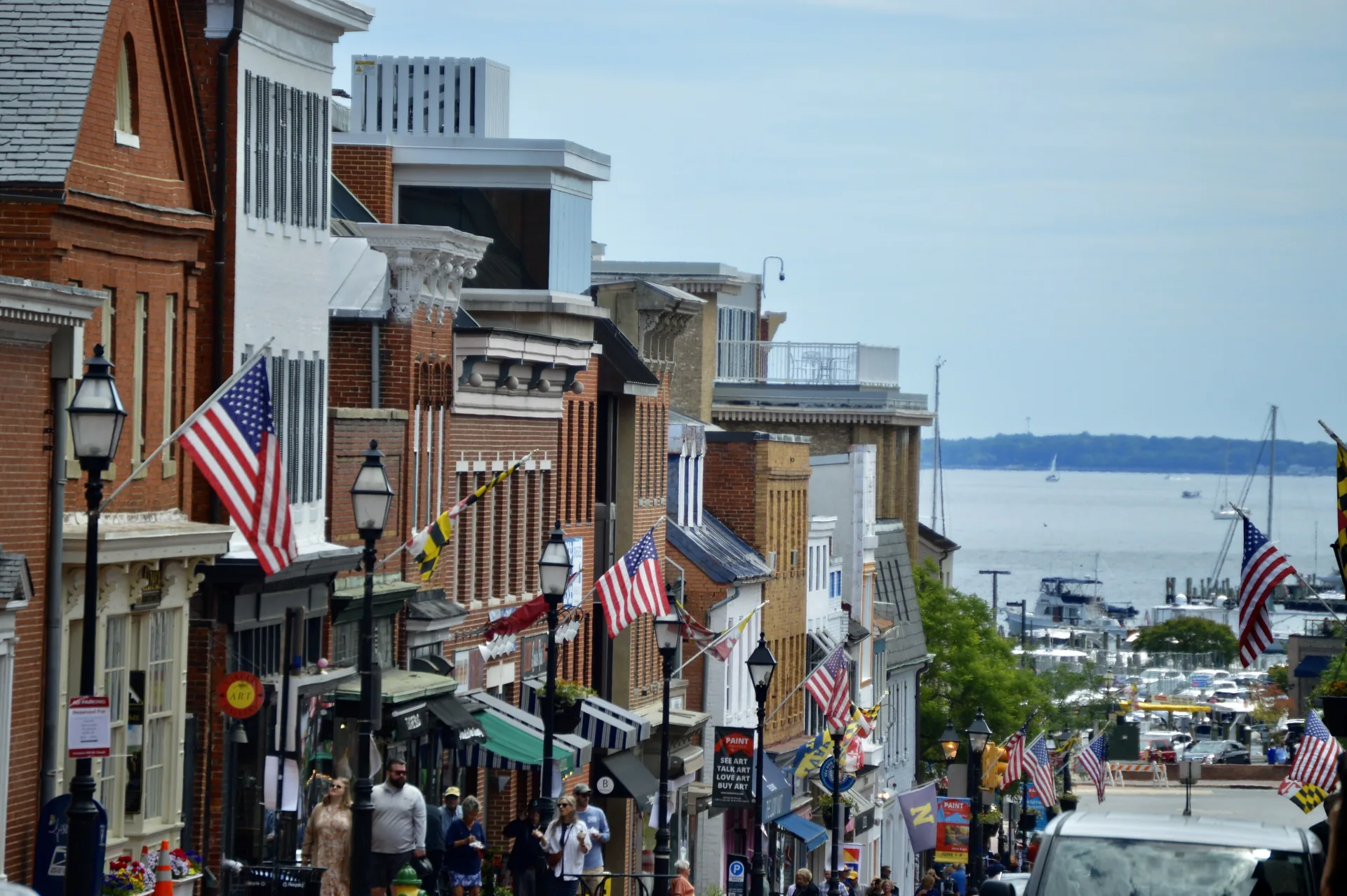
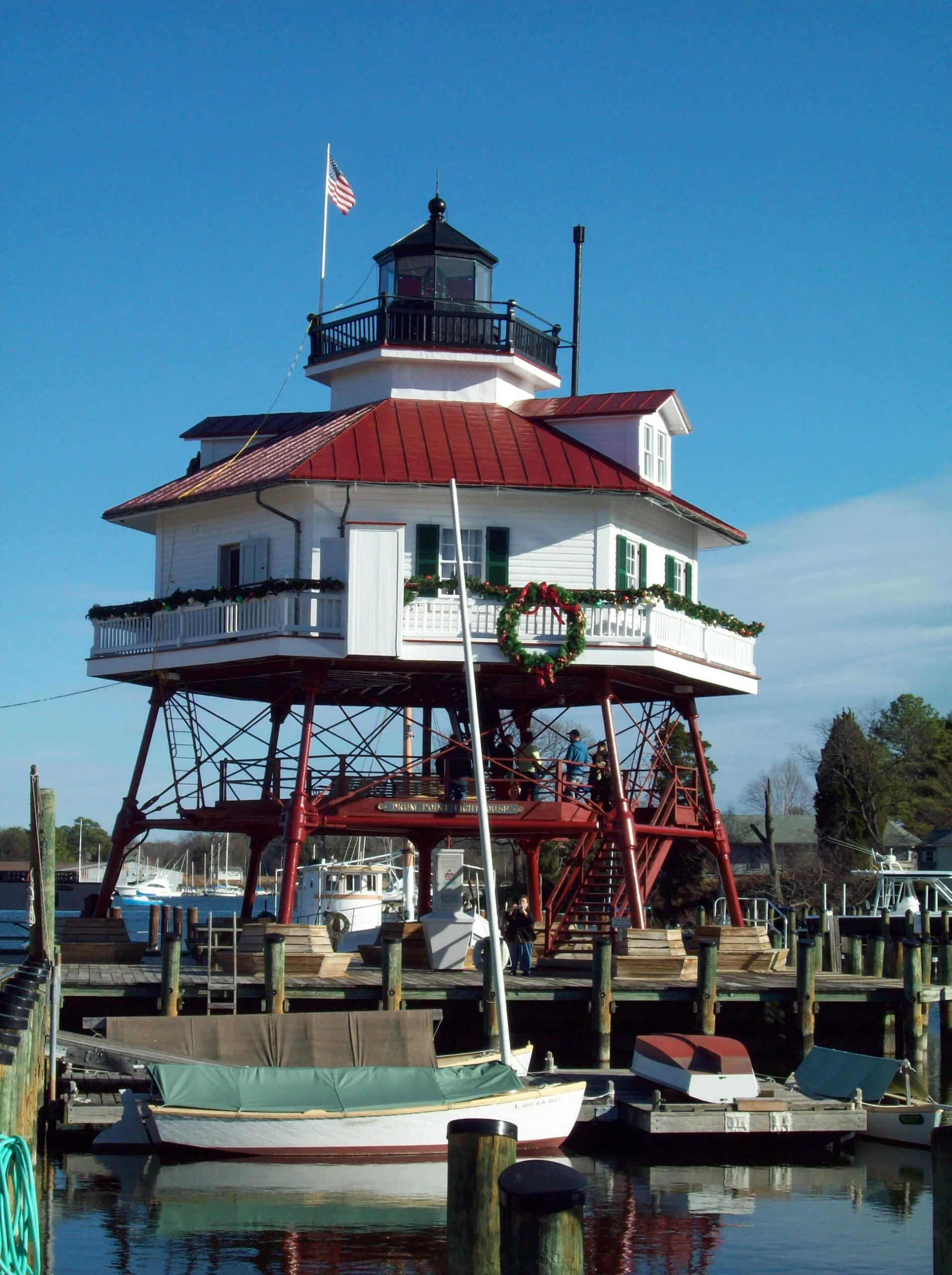
Annapolis brings together the State House, downtown streets and the maritime setting of Eastport. Explore its separate pockets on foot and by local transit, with attention to the creek crossings and your destination’s entrance.
Columbia’s villages, paths and shared institutions explain how the planned community works. Start with its history, a local village center and the right organization for an everyday question.
Severna Park’s daily landmarks include Ritchie Highway, the library on West McKinsey Road and the B&A Trail. Explore the community through its local errands, trail entrances and nearby county parks.
Taneytown offers a local-history museum and several distinct public parks. Start with an exhibition date, a pond-side walk at Roberts Mill or a gathering at Memorial Park.
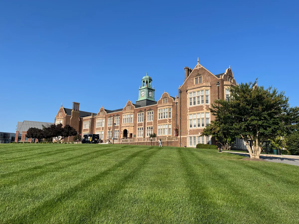
Towson brings Baltimore County government, a university campus and a substantial public library into a town center with a history distinct from Baltimore City.
Abell’s porch-front streets, former ballpark site and community-managed open space connect neighborhood history with everyday life near Greenmount Avenue.
Admiral Heights connects Annapolis streets named for naval leaders with neighborhood waterfront spaces. Dewey Dock, Halsey Park and the separately managed boat club have distinct uses and access arrangements.
Amesbury Hill is a small Town Center residential area off Ten Mills Road near Route108. Its community history, nearby golf resources and Centennial Park entrances help orient a first visit.
Arcadia’s bungalows, cottages and duplexes connect an early twentieth-century subdivision story with an improvement association publishing current neighborhood news.
Baltimore Highlands is a Baltimore City rowhouse neighborhood near Highlandtown, with local housing programs and wider east Baltimore support for older residents.
Banneker is a Town Center residential neighborhood on Banneker Road. Its fire-station landmark, local play areas and the current Central Library give practical orientation points.
Barclay’s rowhouses, former industrial spaces and community organizing reflect a central Baltimore neighborhood shaped by transportation and successive stages of development.
Barre Circle is a compact rowhouse neighborhood near Pigtown and Hollins Market, with a community association and a nearby library branch currently closed for improvements.
Belair-Edison brings porch-front houses, a Belair Road business corridor and neighborhood housing resources together near Herring Run and Clifton Park.
Generalized county boundaries from the U.S. Census Bureau (2025). Place markers appear only where locations have been verified. The same guides are available in the list below.
Crownsville connects a major hospital-history project with the trails at Bacon Ridge. The patient cemetery has specific public-access arrangements, separate from general entry to the former hospital campus.
Anne Arundel’s Curtis Bay area includes working waterfront infrastructure and selected public outdoor destinations. Cox Creek’s guided birding access is distinct from the open facilities at Solleys Cove Park.
Deale combines a Rockhold Creek waterfront setting with practical South County resources, from its public wharf to the local library and shoreline project information.
Downs on the Severn has separate association resources for its marinas, pool and community swim team. New residents can use that directory to identify the right application, contact or activity calendar.
Explore Eastport through its marine businesses, Fourth Street and the Maritime Museum’s Back Creek location, with clear distinctions between public and private waterfront access.
Explore Fairwinds on the Severn’s community shoreline, beach-club role and September 2026 stormwater plans, with practical waterfront access questions.
Ferndale combines a Light Rail stop with neighborhood recreation at Arundel Hills Park. Current train information and the county’s park project page help separate today’s facilities from planned improvements.
Fort Meade is a controlled federal installation with a regional intelligence and cyber role; visits and nearby museum plans require different destination information.
Friendship is a southern Anne Arundel crossroads with Quaker, agricultural and African American history. County heritage resources explain its churches and schools without treating working properties as public museums.
Furnace Branch connects northern Anne Arundel’s tidal-creek landscape with a documented Rosenwald-school history. Solleys Cove provides a separate, named public destination for reaching the nearby waterfront.
Gibson Island’s club facilities use member and sponsored-guest arrangements. Plan through a host or the club office; nearby Downs Park provides a distinct public option for Chesapeake shoreline recreation.
Glen Burnie’s civic association, volunteer fire company and Eastway library provide distinct entry points into local life. Their histories and current resources connect the town center with surrounding neighborhoods.
Glen Burnie Town Center brings together the Crain Highway and Baltimore–Annapolis Boulevard core, public art and ongoing revitalization work. Planning resources help distinguish existing features from proposed changes.
Anne Arundel’s Hanover area includes Arundel Mills shopping and entertainment and a separate community-college location. The neighboring street numbers lead to different destinations, services and visit arrangements.
Harmans has a public recreation anchor at Matthewstown-Harmans Park and a separate baseball venue at Joe Cannon Stadium. Their Hanover mailing addresses and different entrances are useful details when planning a visit.
Harundale’s civic association and Eastway library connect this Glen Burnie neighborhood with local meetings, services and a longer public-library history. Current programs are separate from plans for a replacement library.