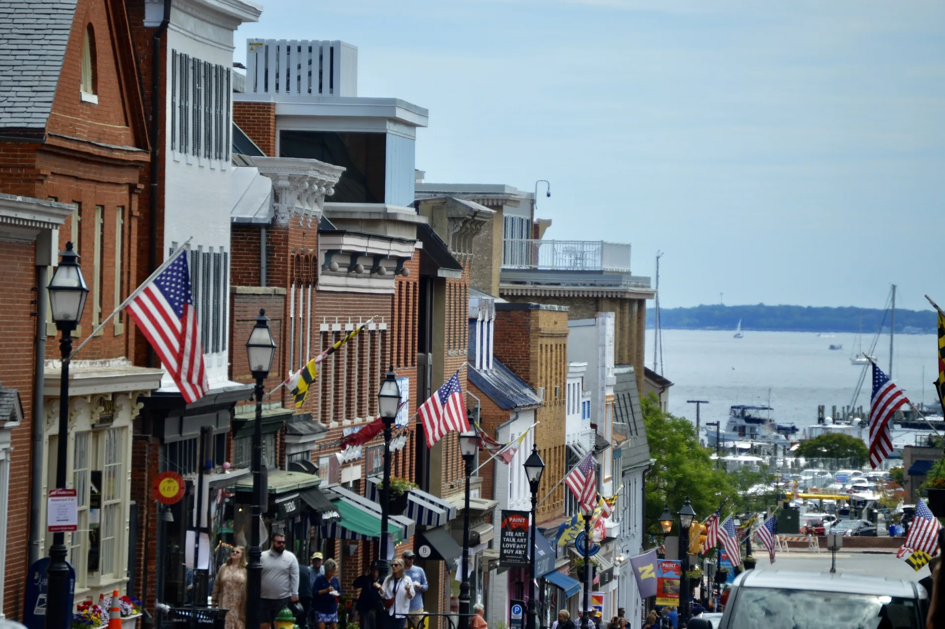
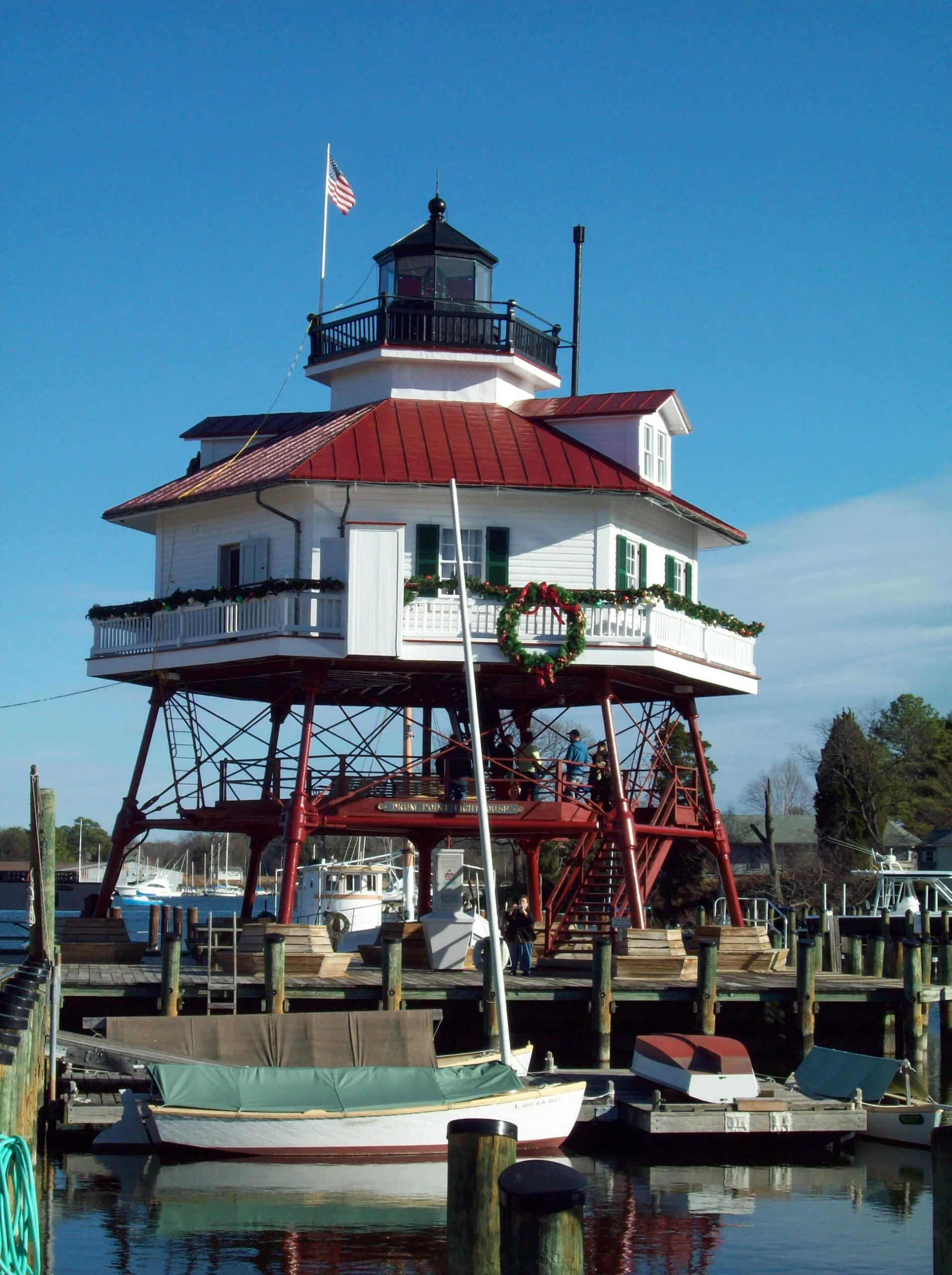
Annapolis brings together the State House, downtown streets and the maritime setting of Eastport. Explore its separate pockets on foot and by local transit, with attention to the creek crossings and your destination’s entrance.
Columbia’s villages, paths and shared institutions explain how the planned community works. Start with its history, a local village center and the right organization for an everyday question.
Severna Park’s daily landmarks include Ritchie Highway, the library on West McKinsey Road and the B&A Trail. Explore the community through its local errands, trail entrances and nearby county parks.
Taneytown offers a local-history museum and several distinct public parks. Start with an exhibition date, a pond-side walk at Roberts Mill or a gathering at Memorial Park.
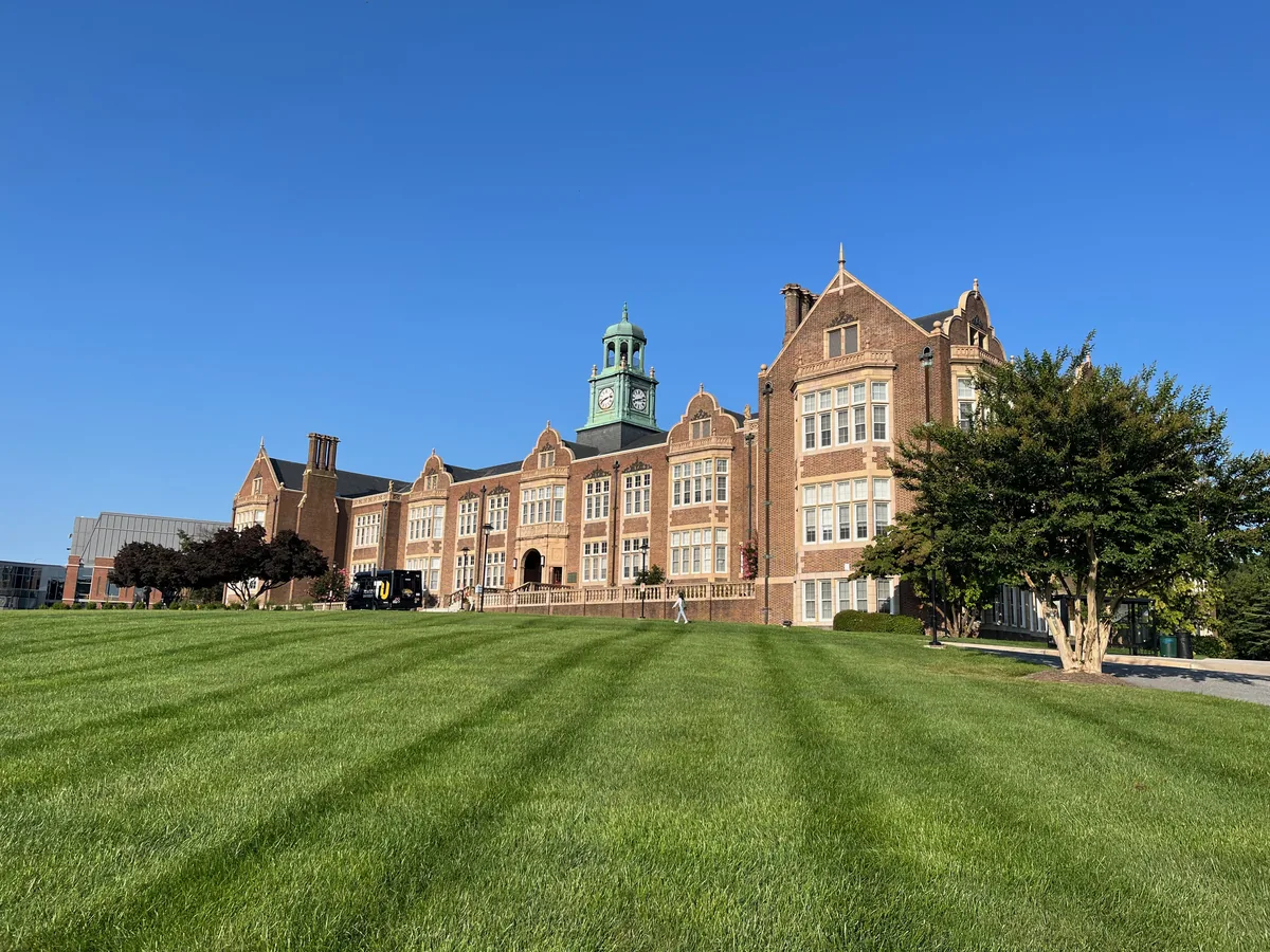
Towson brings Baltimore County government, a university campus and a substantial public library into a town center with a history distinct from Baltimore City.
Abell’s porch-front streets, former ballpark site and community-managed open space connect neighborhood history with everyday life near Greenmount Avenue.
Admiral Heights connects Annapolis streets named for naval leaders with neighborhood waterfront spaces. Dewey Dock, Halsey Park and the separately managed boat club have distinct uses and access arrangements.
Amesbury Hill is a small Town Center residential area off Ten Mills Road near Route108. Its community history, nearby golf resources and Centennial Park entrances help orient a first visit.
Arcadia’s bungalows, cottages and duplexes connect an early twentieth-century subdivision story with an improvement association publishing current neighborhood news.
Baltimore Highlands is a Baltimore City rowhouse neighborhood near Highlandtown, with local housing programs and wider east Baltimore support for older residents.
Banneker is a Town Center residential neighborhood on Banneker Road. Its fire-station landmark, local play areas and the current Central Library give practical orientation points.
Barclay’s rowhouses, former industrial spaces and community organizing reflect a central Baltimore neighborhood shaped by transportation and successive stages of development.
Barre Circle is a compact rowhouse neighborhood near Pigtown and Hollins Market, with a community association and a nearby library branch currently closed for improvements.
Belair-Edison brings porch-front houses, a Belair Road business corridor and neighborhood housing resources together near Herring Run and Clifton Park.
Generalized county boundaries from the U.S. Census Bureau (2025). Place markers appear only where locations have been verified. The same guides are available in the list below.
Parkville combines Harford Road community institutions with Double Rock Park’s streamside trails, playing fields and gardens, while sharing library resources with neighboring Carney.
The Patapsco Valley area follows a long river landscape where trails, former industry and several developed park sections create different kinds of outing.
Perry Hall combines the history of its namesake plantation with the Honeygo Boulevard library and park corridor, where public gathering, reading and recreation have distinct settings.
Phoenix connects the northern county’s outdoor landscape with a specialist wildlife rehabilitation organization and access to the former railway corridor.
Randallstown’s Liberty Road library and Resource Drive community center provide distinct places for reading, meeting, recreation and organized programs.
Reisterstown’s Main Street preserves the pattern of a road town, with a relocated history museum and a library supporting both local research and everyday use.
The Reisterstown Road corridor connects established community institutions from Pikesville toward Reisterstown, with distinct addresses and local histories along the way.
Rosedale’s public resources pair the Storyville early-learning space and library study rooms with a recreation center focused partly on gaming and technology.
The Route 40 and Catonsville corridor brings together Baltimore National Pike’s transportation history, older residential communities and services along Frederick Road.
Sparrows Point’s steelmaking history survives in workers’ stories and museum collections, while industrial redevelopment and a community park give the area new uses.
Stevenson combines a small shopping destination on Stevenson Road with a longer history of rail connections and the Green Spring Valley’s historic landscape.
Timonium’s York Road corridor is anchored by fairgrounds that connect Maryland agriculture with exhibitions, community gatherings and Light Rail access.
Towson brings Baltimore County government, a university campus and a substantial public library into a town center with a history distinct from Baltimore City.
Tradepoint Atlantic reuses the Sparrows Point steel site for marine, rail and logistics activity, with environmental work documented separately by EPA.
Turner Station’s African American community history is carried forward through resident-led conservation work and the creation and care of Chestnut Park.
Upperco’s farm destinations offer different ways to experience the area’s agricultural life, from seasonal produce to booked educational visits and winter tree cutting.