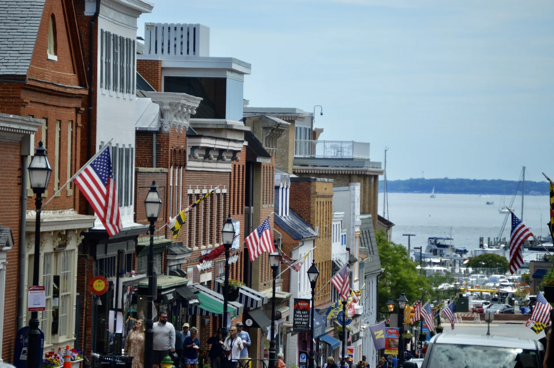
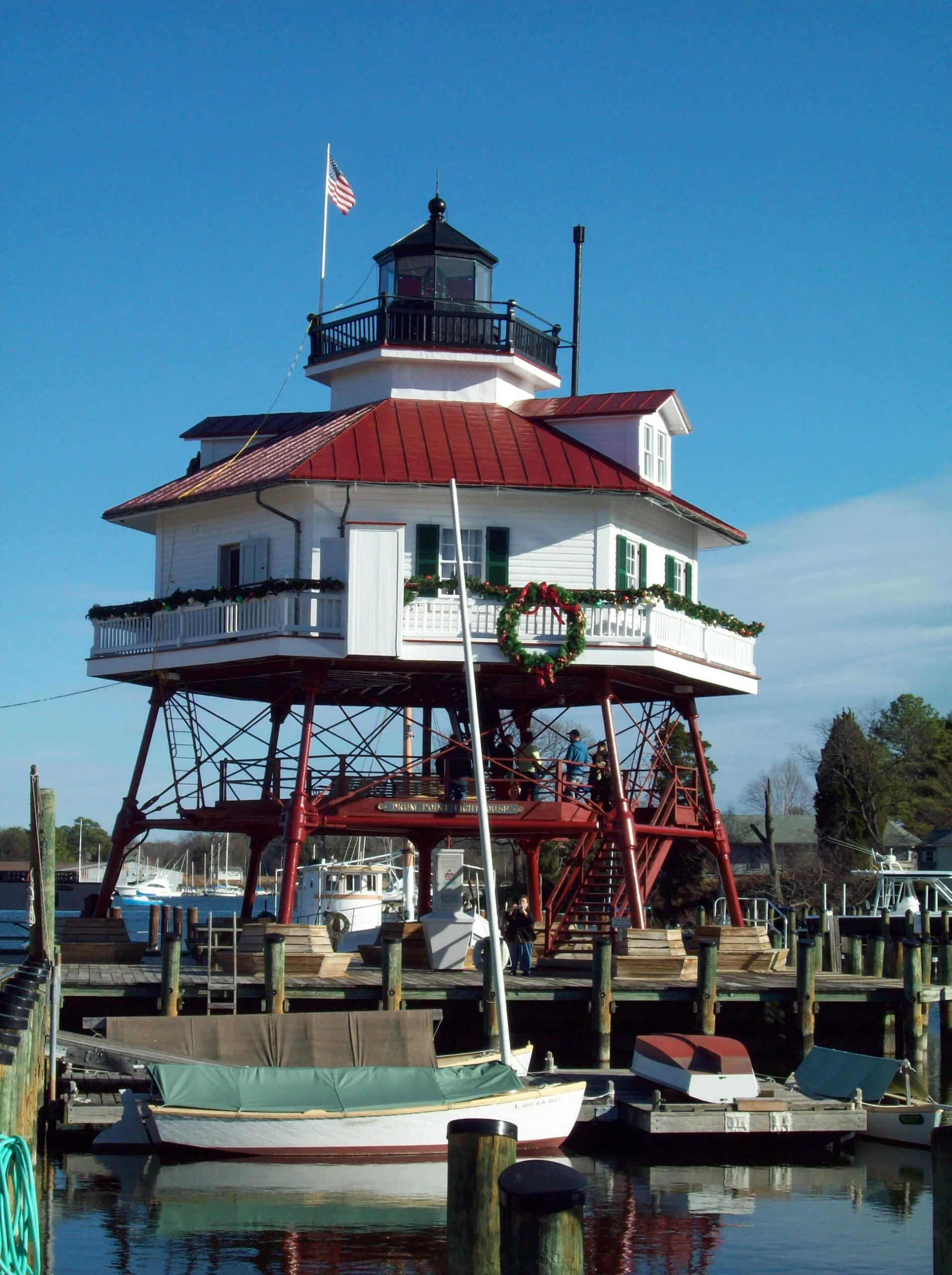
Annapolis brings together the State House, downtown streets and the maritime setting of Eastport. Explore its separate pockets on foot and by local transit, with attention to the creek crossings and your destination’s entrance.
Columbia’s villages, paths and shared institutions explain how the planned community works. Start with its history, a local village center and the right organization for an everyday question.
Severna Park’s daily landmarks include Ritchie Highway, the library on West McKinsey Road and the B&A Trail. Explore the community through its local errands, trail entrances and nearby county parks.
Taneytown offers a local-history museum and several distinct public parks. Start with an exhibition date, a pond-side walk at Roberts Mill or a gathering at Memorial Park.
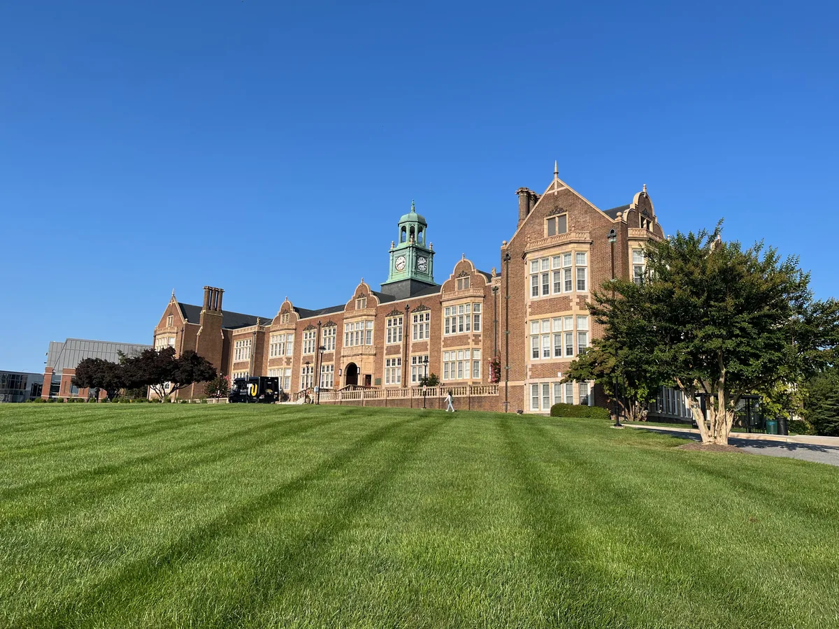
Towson brings Baltimore County government, a university campus and a substantial public library into a town center with a history distinct from Baltimore City.
Abell’s porch-front streets, former ballpark site and community-managed open space connect neighborhood history with everyday life near Greenmount Avenue.
Admiral Heights connects Annapolis streets named for naval leaders with neighborhood waterfront spaces. Dewey Dock, Halsey Park and the separately managed boat club have distinct uses and access arrangements.
Amesbury Hill is a small Town Center residential area off Ten Mills Road near Route108. Its community history, nearby golf resources and Centennial Park entrances help orient a first visit.
Arcadia’s bungalows, cottages and duplexes connect an early twentieth-century subdivision story with an improvement association publishing current neighborhood news.
Baltimore Highlands is a Baltimore City rowhouse neighborhood near Highlandtown, with local housing programs and wider east Baltimore support for older residents.
Banneker is a Town Center residential neighborhood on Banneker Road. Its fire-station landmark, local play areas and the current Central Library give practical orientation points.
Barclay’s rowhouses, former industrial spaces and community organizing reflect a central Baltimore neighborhood shaped by transportation and successive stages of development.
Barre Circle is a compact rowhouse neighborhood near Pigtown and Hollins Market, with a community association and a nearby library branch currently closed for improvements.
Belair-Edison brings porch-front houses, a Belair Road business corridor and neighborhood housing resources together near Herring Run and Clifton Park.
Generalized county boundaries from the U.S. Census Bureau (2025). Place markers appear only where locations have been verified. The same guides are available in the list below.
Admiral Heights connects Annapolis streets named for naval leaders with neighborhood waterfront spaces. Dewey Dock, Halsey Park and the separately managed boat club have distinct uses and access arrangements.
City Dock is Annapolis’s downtown waterfront district. Use current construction and access information to plan a visit around Ego Alley and Dock Street.
Annapolis brings together the State House, downtown streets and the maritime setting of Eastport. Explore its separate pockets on foot and by local transit, with attention to the creek crossings and your destination’s entrance.
Explore Eastport through its marine businesses, Fourth Street and the Maritime Museum’s Back Creek location, with clear distinctions between public and private waterfront access.
Homewood is part of Annapolis’s Germantown–Homewood community south of West Street. Its former farm landscape, Poplar railway corridor and Busch library provide three useful ways to understand the area.
Maryland Avenue and State Circle connect shops and local stops with the State House and legislative complex. Plan building visits and transportation separately.
President’s Hill is a small Annapolis neighborhood with a documented nineteenth-century street pattern and a community mural project on Madison Place. Start with its history and the artist’s own account.
Truxtun Heights offers a starting point for family activities around Silopanna Road and nearby Truxtun Park. Use the museum address and the City’s park map to choose the right entrance.
West Annapolis combines a distinct commercial core with surrounding residential streets. Start with Annapolis Street, the city’s area plan and current Weems Creek access information.
Use Inner West Street as a starting point for Annapolis arts, with district resources, venue information and a wider cultural area beyond a single restaurant block.