
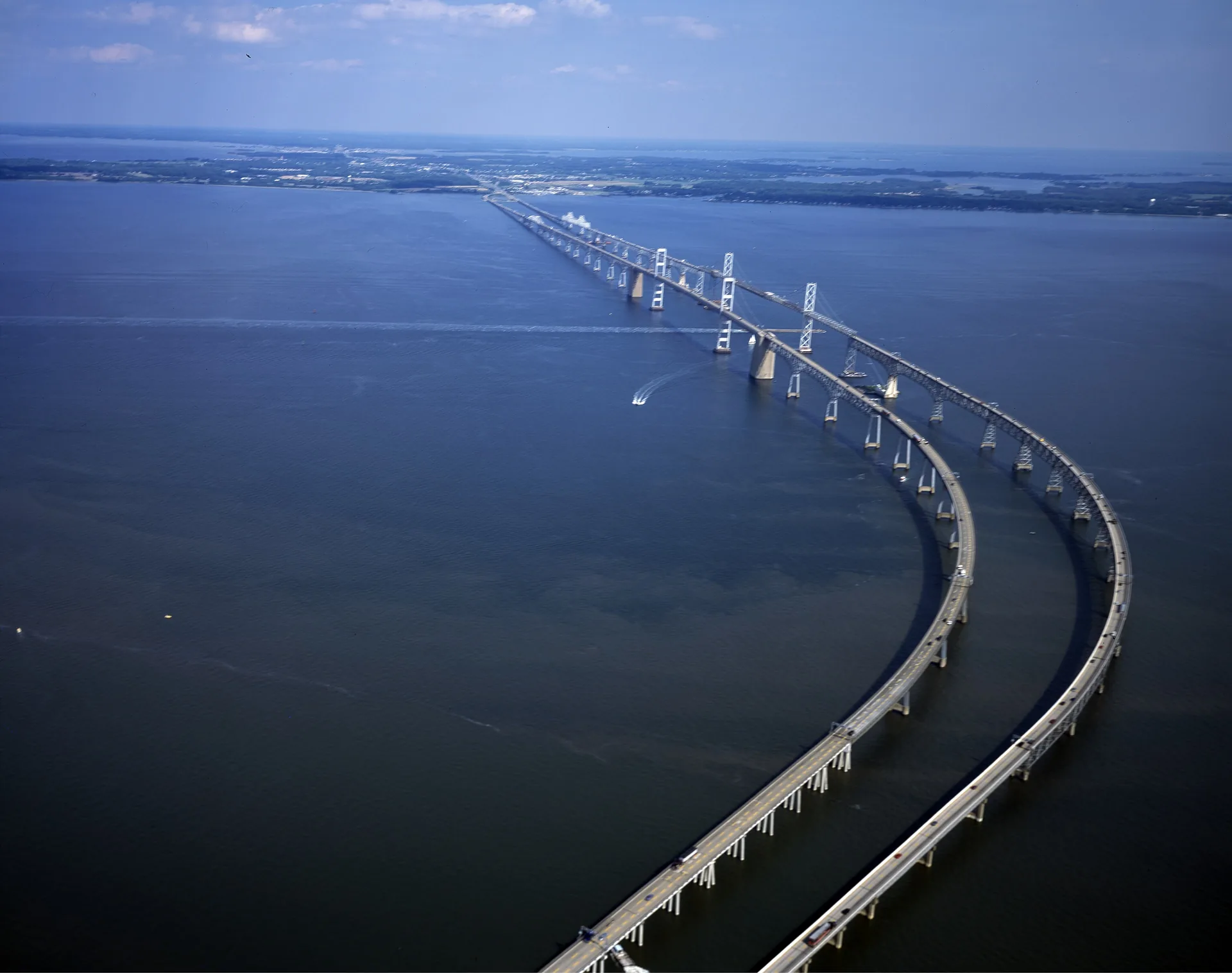
Kent Island makes more sense when you plan a normal week on it. The bridge trip, a library visit, a short walk and the route back from errands reveal different things from a single afternoon by the water. Use Stevensville, Chester and the approaches to Kent Narrows as reference points, then learn the roads and services around your actual address.
Put the bridge into your routine
The Maryland 511 and CHART service provides traffic, road-closure and weather-related travel information. Check conditions before a westbound appointment and again before returning. Follow the overhead lane signals; a familiar crossing can have a different traffic pattern on another day.
For someone considering a move, our advice is to test the trip at the times life will require it: the morning departure, an evening return and a weekend errand. Add the drive between the house and the highway, parking at the destination and any onward connection. One clear crossing is a useful experience, but it should not become the assumed time for every future trip.
Make a second plan for days when the schedule changes. Decide which errands can stay on the island, which appointments allow flexibility and who would handle a pickup if you are delayed. That exercise is useful whether you commute daily or only cross the bridge occasionally.
Use the trails to learn the island
The county’s Cross Island Trail page describes an east–west route between Terrapin and Kent Narrows, with several access points. Start with a short section and a known return point. Choose a trailhead for the activity you want instead of assuming you need to complete the whole route.
At Terrapin Nature Park, 191 Log Canoe Circle, trails pass through meadows, wetlands, woods and shoreline. The county lists free general admission and sunrise-to-sunset access. Its mix of habitats makes it a useful first walk for understanding the Bay side of the island. Read the park rules before carrying in picnic equipment or fishing gear; designated areas matter.
For the southern trail network, consult the county’s current trail maps and updates before planning a longer ride. Pick your access point and turnaround from the current map, and check which connections are open. Some published bicycle routes share roads with vehicles.
Know which beach fits the outing
Matapeake Clubhouse and Beach, 201 Clubhouse Drive, is another practical Bay-side destination. The county lists a public swimming beach, picnic area and wooded trail, with sunrise-to-sunset access and free general admission. The former ferry-terminal building gives the setting a visible connection to travel before the Bay Bridge.
Dog access has its own route and designated beach. The county says pets are not allowed at the clubhouse, on its lawn or on the public beach. Plan the outing around the appropriate entrance and area. For any waterfront visit, check current conditions and posted notices before entering the water.
Find the everyday places early
The Queen Anne’s County Library’s Kent Island branch is at 200 Library Circle in Stevensville. Save its location and current hours before your first visit. It is an easy civic reference point to add to an orientation trip alongside the routes you will use for shopping, recreation and appointments.
For a household move, create an address-specific checklist. Confirm school enrollment with Queen Anne’s County Public Schools. Direct questions about county roads, transfer stations and water or sewer services to Public Works and the appropriate office. A community name or postal address alone is too broad to settle a property’s services.
A useful first weekend
Choose one outdoor stop, one practical errand and a short drive around the area where you expect to spend most of your week. For example, make Terrapin your morning walk, locate the Kent Island library and use the afternoon to test the route between your home and the services you expect to use. On another day, explore Matapeake separately. This gives each area enough time and leaves room to notice the turns, access points and distances that matter after the visit ends.
Sources reviewed October 16, 2026. Hours, access conditions and service arrangements can change; use the linked operators for the latest details. This guide covers Kent Island in Queen Anne’s County and does not make claims about individual properties, school assignments or commute guarantees.